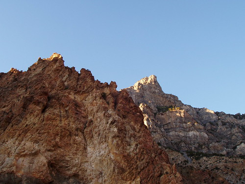
Squaw Peak Trip Report
Rock Canyon, 07/23/04
Squaw Peak is generally considered one of the minor peaks of the Wasatch Range, but because of it's prominence over the city of Provo, it is well know and an established trail goes to the summit. I had come home from camping earlier in the day, and hadn't yet had my fill of outdoor excitement, so I decided to hike Squaw Peak. I also turned the trip into an opportunity to do some geocaching on the mountain, as there were a couple of caches on the way up and one near the summit.
I am told there is a route up the west face which involves some bushwhacking, and which is fairly steep. I opted to forgo that route in favor of the one up Rock Canyon, which would also be quite a bit cooler in the July sun. I followed the Rock Canyon trail for about 1.5 miles, until coming to a fork. There is a sign marking the left fork as the trail up to Squaw Peak, and another sign on a rock a few feet up the trail. The turnoff isn't easy to miss.
From the turnoff, my GPS indicated only 0.8 miles to the summit, but the trail is actually much longer than that. Shortly after the turnoff, the trail follows the First Left Fork of Rock Creek, which was dry, for quite a while. There are some sections that are pretty steep, but I was still able to maintain a pretty good pace. The hike wraps around Squaw Peak, and the route ends with an approach to the summit from the north.
I stayed at the summit to enjoy the view and then started heading back down. The hike down was cooler, due to the setting sun and the increase in shade in the canyon, and took a little longer than an hour. I got back to my car around 8:30 in the evening, ready to go home and enjoy a nice dinner. Overall the hike was 8 miles long and took about 4 hours. It was a great escape from the valley heat for an afternoon and one I will probably do again.
