Mount Davis Trip Report
Parking Lot, 06/21/13
We had just spent two very lovely days camping at Raccoon Creek State Park, and were looking for an adventure for the following day. Surveying the map, I noticed that Mount Davis, the highpoint of our new home of Pennsylvania, wasn't far away. It took some convincing, but pretty soon the old children were excited to visit the "tallest mountain in Pennsylvania." We packed up camp, and then embarked on a bit of an adventure, driving along the old national road route, passing Fort Necessity and into the Laurel mountains. Sadly, we didn't have time for many detours, and will have to make another trip to the area another time.
We arrived at the town of Salisbury, PA, and then used SR 2002 to get to the summit area. The road gradually gained elevation as we passed through a largely agricultural area. We eventually turned right on Christner Rd, and veered left at a fork. These were dirt roads, and since we were approaching the "back side" of the highpoint, we didn't see many signs to guide our way. A short distance later, and we were at a parking lot for the highpoint area.
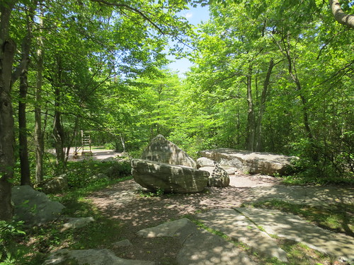
Mount Davis sits in the Mount Davis Natural Area of Forbes State Forest, but there is a parking lot and trail providing easy access to the area. After finding shoes for the kids, we set off on a short, but exciting adventure through the woods, on what was a very pleasant early summer day. After a couple hundred yards, we came to a narrow asphalt road that led right to the summit area. Along the road was a display about the history and geography of the area that we visited on our way out.
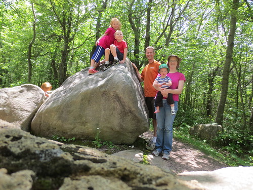
The summit area itself is largely uninteresting, save for the great views to be had from the CCC-era observation tower. Hannah and Jonathan were eager to climb it, but Hannah started getting concerned about the height halfway up. With narrow steps and a low railing, there wasn't any way for her to go down as I was right behind her (and carrying a two-year-old Charlotte). The day was very clear, and we enjoyed great visibility into the surrounding towns and area. After descending the tower, we visited the actual highpoint: a large stone just behind the tower. The children enjoyed taking turns being the tallest person in Pennsylvania, and we managed to get a family picture at the site before leaving.
Our visit done, we headed back to the car. We had promised the kids that we'd eat lunch at the summit, but the maps and guidebook indicated a picnic area not far way. While there was an appealing 1-mile trail from the summit to the picnic area, we were already overdue for lunch, so we drove to the area instead. The picnic area is a semi-developed area with picnic tables and pit toilets just a mile north of Mount Davis. After a nice lunch, and plenty of time to run around, we loaded everybody back into the car and headed north and back home to Pittsburgh.

